Naovarat Surveying Co., Ltd.
Naovarat Surveying Co., Ltd.
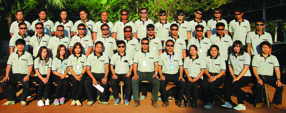
NaoVarat Surveying Group was established in February 1992 by the most experienced surveyors in the field of surveying and mapping.
1. Office of Licensing Land Surveyor "Naovarat Survey"
2. Naovarat Surveying Company Limited
Our company is servicing the Land Surveying and Design Works for construction projects for infrastructure, transportation, port, oil and gas, real estate, telecommunication, mining, industrial estate, housing estate in the field of Topographic Surveys, Cadastral Surveys, Route Survey & Design, Setting-Out and Staking-Out Survey, Construction Surveys, Bathymetric Surveys, Inventory Surveys, Subdivision Land Survey and Construction Management etc.
In addition, we got the license of the private land surveyor office from Department of Lands, so we can conduct Cadastral Survey beyond the name of Office of Licensing Land Surveyor “Naovarat Survey” for Boundary Surveys, Subdivision Surveys and Merging deed Surveys.
 |
||||||
|
||||||
 |
 |
|||
|
|
|||
Design by www.meeidea.com
© 2018 Naovarat Surveying All rights reserved.


