Naovarat Surveying Co., Ltd.
Naovarat Surveying Co., Ltd.
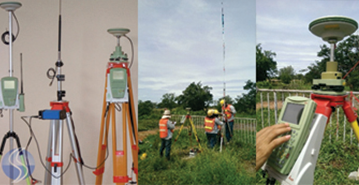
A satellite system that is used to pinpoint the geographic location of a user's receiver anywhere in the world
Read More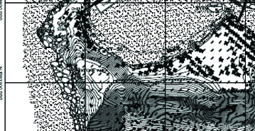
Consists of a series of tasks carried out with the aim of determining the composition of those parts of the earth’s surface which emerge from the water.
Read More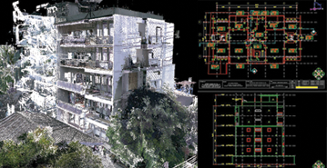
Show the property “as it is built” at a particular point in time. While a pre-construction survey is performed to document conditions prior to renovation and construction work being performed
Read More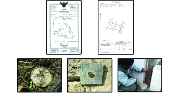
The land surveyor to determine the boundary and area of land parcel. The main purpose for the preparation of land registration.
Read More
Provide the required basic data for planning of construction and installation projects and also the creation of facility management systems (FM) and documentation and information systems.
Read More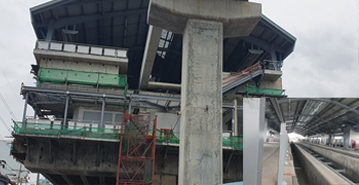
In support of construction activities, the surveyor obtains the reconnaissance and preliminary data which are necessary at the planning stage.

UAV platforms are nowadays a valuable source of data for inspection, surveillance, mapping and 3D modeling issues.
Read More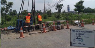
Are performed by geotechnical engineers or engineering geologists to obtain information on the physical properties of soil and rock around a site
Read More
Design by www.meeidea.com
© 2018 Naovarat Surveying All rights reserved.


